Gavin's Point Nature Trail, Lewis and Clark Lake
Yankton, SD
Map: https://www.visityanktonsd.com/businesses/gavins-point-nature-trail/
Know Before You Go: This trail can be frequented by mosquitoes during summer months. We like to do it in the fall to take advantage of the beautiful foliage.
Length: 1.2 miles (more if you take the spurs)
Time: This took us a little more than an hour.40 minutes
Difficulty level: Moderate.
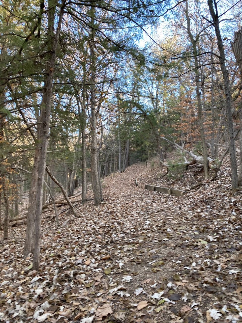
Terrain: Mulch and dirt.
Dog-friendly: Yes.
Kid-friendly: Yes.
Yankton, SD
Map: https://www.visityanktonsd.com/businesses/gavins-point-nature-trail/
Know Before You Go: This trail can be frequented by mosquitoes during summer months. We like to do it in the fall to take advantage of the beautiful foliage.
Length: 1.2 miles (more if you take the spurs)
Time: This took us a little more than an hour.40 minutes
Difficulty level: Moderate.
Terrain: Mulch and dirt.
Dog-friendly: Yes.
Kid-friendly: Yes.
|
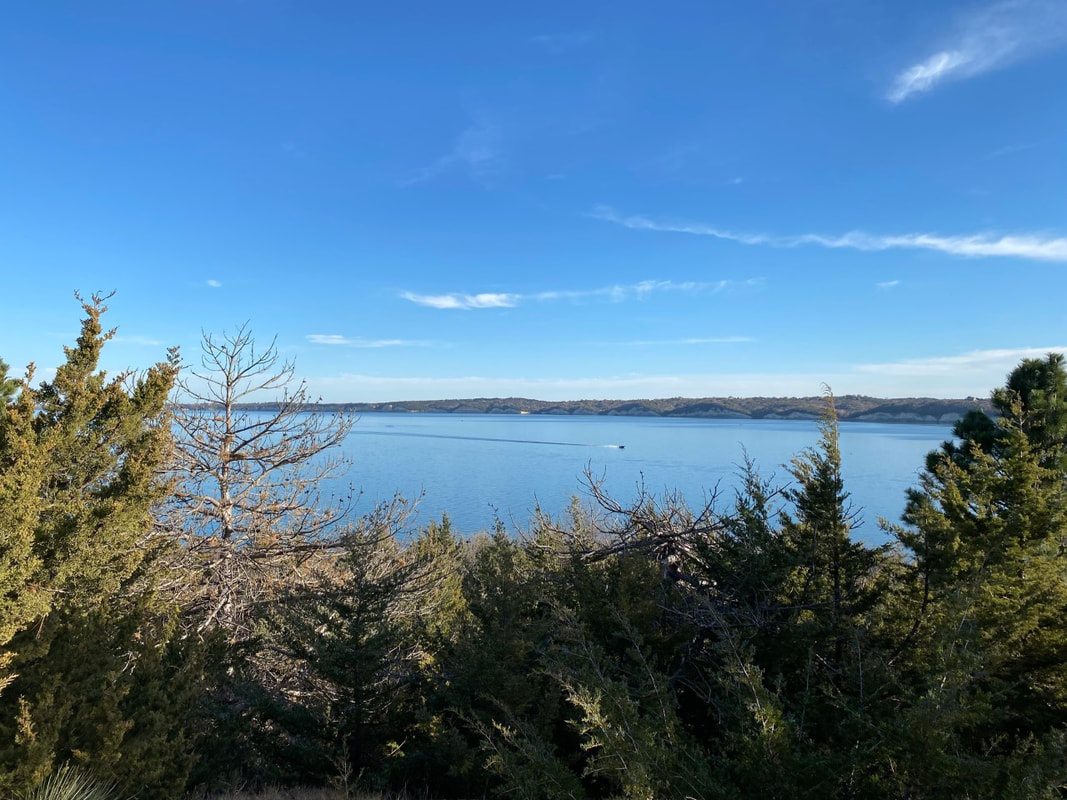
Gavin’s Point was the initial proposed location of Gavin’s Point Dam a couple miles to the east, which forms Lewis and Clark Lake and is one of several dams along the Missouri River. Gavin’s Point was named for local farmer Michael J. Gavin, who owned the land on which this trail is located. The location was moved because its eventual location downstream offered a shorter span distance and less fill material for dam construction. The Missouri River, nicknamed “The Big Muddy” for its muddy color caused by silt, is North America’s longest river. Lewis and Clark Lake is one of Eastern South Dakota’s largest tourist attractions, popular for swimming, boating and fishing. It also features one of the nicest paved bicycle/running trails around.
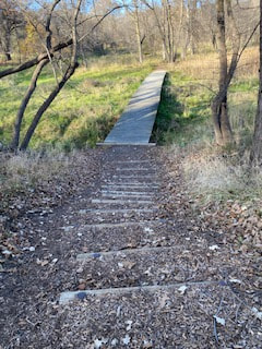
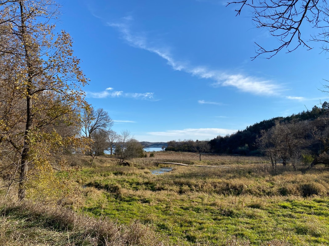
We like to do this trail in conjunction with nearby South Shore Nature Trail (on the south side of the Missouri) for a combined 5-6 miles of hiking in an afternoon. If you start with this one, take advantage of one of the several benches or picnic areas along the trail and pack a sack lunch. The trail is easy to walk but hilly. Keep an eye out for spurs that lead to lookouts over Lewis and Clark Lake, offering spectacular views of the chalky bluffs for which the area is famous. The sun causes the cliffs to glow in the afternoon light. Watch for eagles, osprey and hawks that hunt along the shore. If you hike on a hot afternoon, pack along a swim suit and stop by the beach for a dip to cool off after a short but rewarding hike. 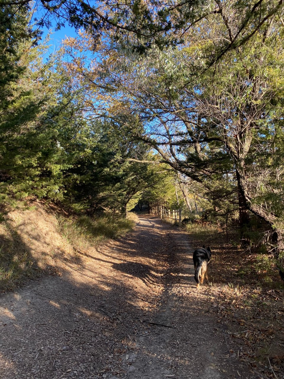
THE HIKING DOGGIE
|
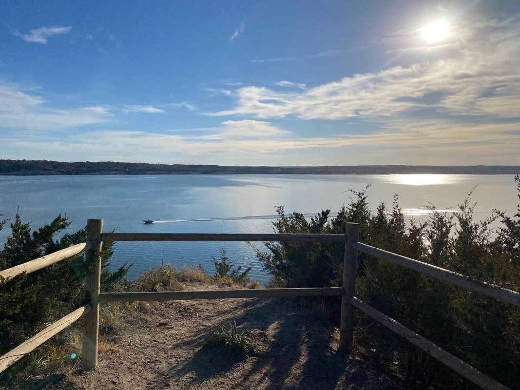
VIEW OF LEWIS AND CLARK LAKE FROM GAVIN'S POINT NATURE TRAIL
|