Caher Valley Loop | The Burren | Fanore, County Clare, Ireland
Websites: Caher Valley Loop Trail Description | Caher Valley Loop Trail Map
Know Before You Go: Part of this hike walks along paved roads, which can be dangerous. Hikers are directed to walk on the right side of the road to face oncoming traffic.
Length: 9 miles (14.5 km).
Time: 3.5 - 4 hours.
Terrain: Paved, narrow roadway, stone and dirt path, crushed aggregate, rock.
Difficulty: Moderate.
Dog-friendly: The first and last thirds are along roads, so dogs are allowed. On the middle, off-road portion of the hike, the signs say dogs are not allowed but we did see dogs on this hike.
Kid-friendly: Yes, as long as your kids can stay close to you on the trafficked roads.
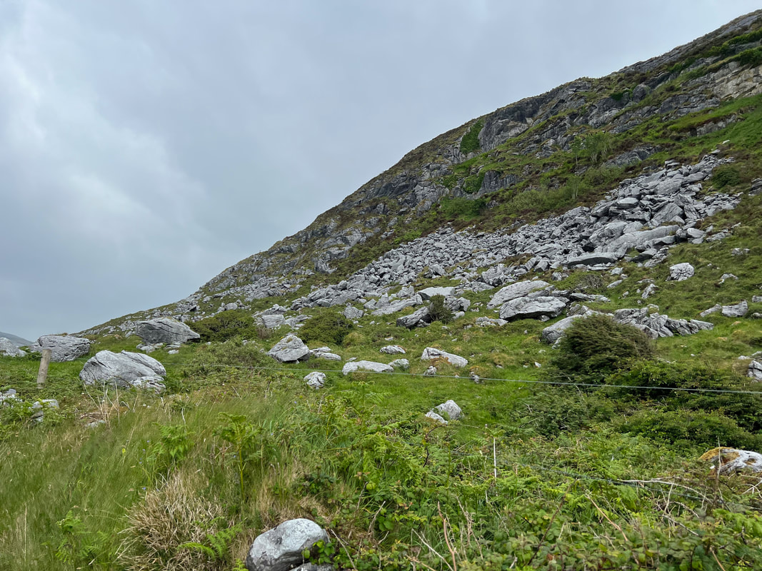
The Burren refers to a region of western Ireland known for its rocky landscape. The word “Burren” comes from the Irish word “Boireann”, which means rocky place.
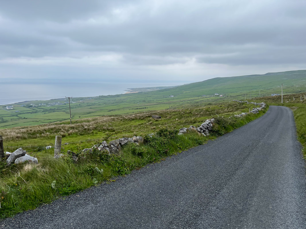
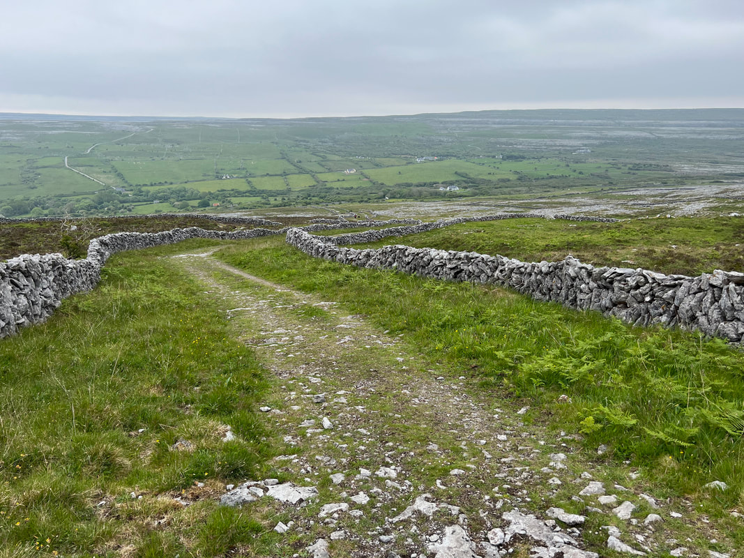
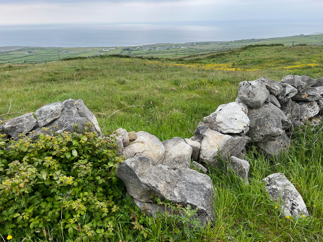
This loop begins and ends at beautiful Fanore Beach in County Clare. Fanore means “ring of gold” in Irish, which aptly describes its sandy beach. The trail begins by walking on a highway along the shoreline then turns on a different, less busy road to follow the Caher River for a time. The turn off the road results in instant beauty. The views of the Irish countryside were some of the finest farmland views we saw on our trip to Ireland. The rocks that line your climb up the hill match the ruins you will see along the way, and add to the scenic hike. The views near the top are spectacular! The descent puts you back on a trafficked road, but shows the beautiful coastline and more picturesque countryside. This hike samples some of the best Ireland has to offer!
The Burren region covers 1% of the Irish landscape. It’s a protected area due to its unusual habitat, with a huge diversity of plants living together under one ecosystem. For example, arctic-alpine plants live alongside Mediterranean plant. The variety of plants and rocks make for a colorful and interesting hike.
Websites: Caher Valley Loop Trail Description | Caher Valley Loop Trail Map
Know Before You Go: Part of this hike walks along paved roads, which can be dangerous. Hikers are directed to walk on the right side of the road to face oncoming traffic.
Length: 9 miles (14.5 km).
Time: 3.5 - 4 hours.
Terrain: Paved, narrow roadway, stone and dirt path, crushed aggregate, rock.
Difficulty: Moderate.
Dog-friendly: The first and last thirds are along roads, so dogs are allowed. On the middle, off-road portion of the hike, the signs say dogs are not allowed but we did see dogs on this hike.
Kid-friendly: Yes, as long as your kids can stay close to you on the trafficked roads.
The Burren refers to a region of western Ireland known for its rocky landscape. The word “Burren” comes from the Irish word “Boireann”, which means rocky place.
This loop begins and ends at beautiful Fanore Beach in County Clare. Fanore means “ring of gold” in Irish, which aptly describes its sandy beach. The trail begins by walking on a highway along the shoreline then turns on a different, less busy road to follow the Caher River for a time. The turn off the road results in instant beauty. The views of the Irish countryside were some of the finest farmland views we saw on our trip to Ireland. The rocks that line your climb up the hill match the ruins you will see along the way, and add to the scenic hike. The views near the top are spectacular! The descent puts you back on a trafficked road, but shows the beautiful coastline and more picturesque countryside. This hike samples some of the best Ireland has to offer!
The Burren region covers 1% of the Irish landscape. It’s a protected area due to its unusual habitat, with a huge diversity of plants living together under one ecosystem. For example, arctic-alpine plants live alongside Mediterranean plant. The variety of plants and rocks make for a colorful and interesting hike.
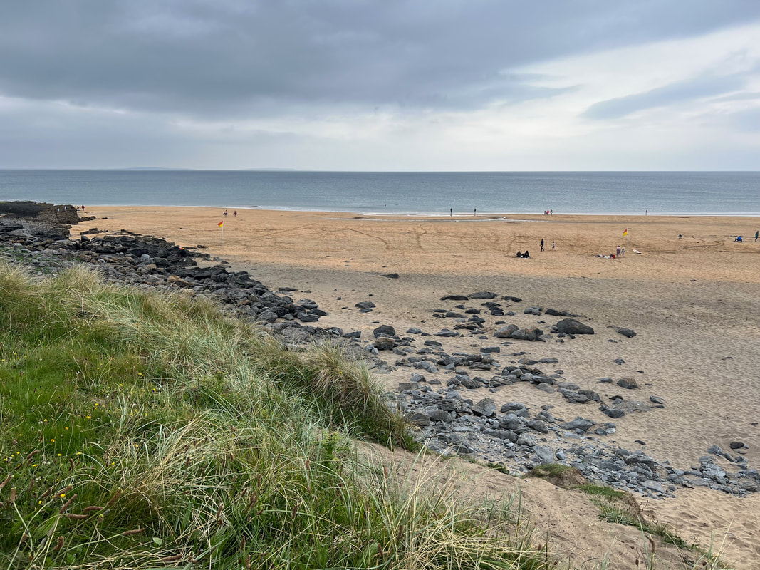
Fanore Beach at Trailhead